To get the back to the heart of nature, take a walk along the MacRitchie Reservoir Trail at Singapore’s Central Catchment Nature Reserve.
How Long to Walk the MacRitchie Reservoir Trail
The MacRitchie Reservoir Trail stretches around the waters of Singapore’s oldest impounding reservoir. The trail is around 11 km long and takes around three to four hours to walk, depending on how fast you walk.
We recently took a hike along its dirt paths, boardwalks and waterside tracks. Here’s how it went.
CARNIVAL OF CHRISTMAS CHEER: Celebrate and Win at Plantation Plaza and Northshore Plaza!
SNOW MUCH TO CELEBRATE: Christmas Fun at The Centrepoint
Prunus Boardwalk & MacRitchie Nature Trail
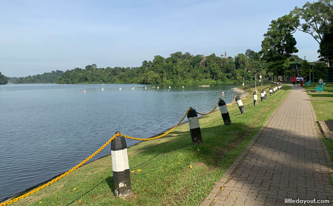
Starting from MacRitchie Reservoir Park, we made our way northwards, anti-clockwise around the reservoir.
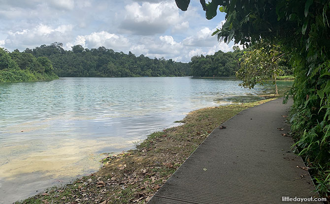
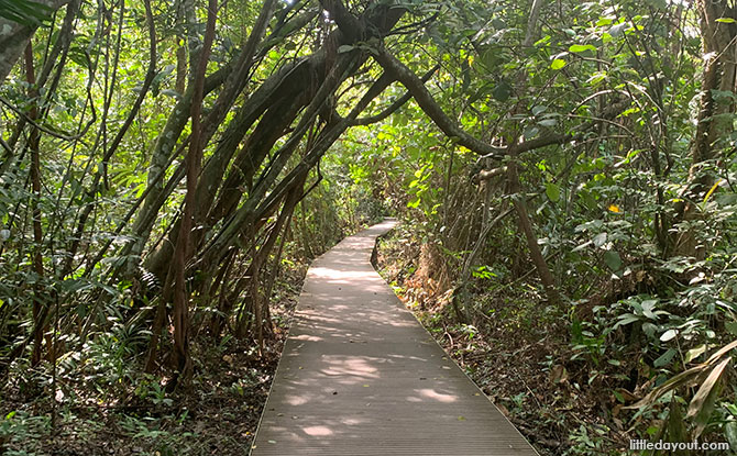
Past the kayaking area was the Prunus Boardwalk which hugged the water’s edge. This is linked to the Petai Boardwalk.
From here, the MacRitchie Reservoir Trail headed away from the water and into the forest.
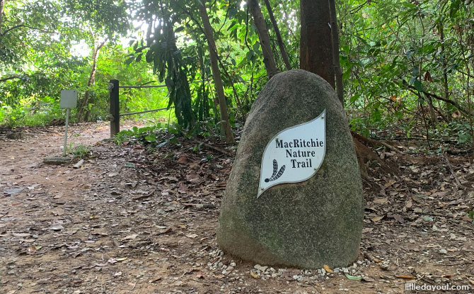
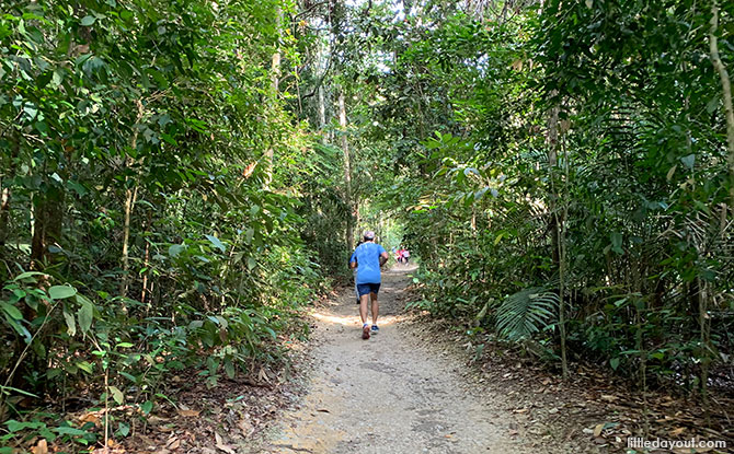
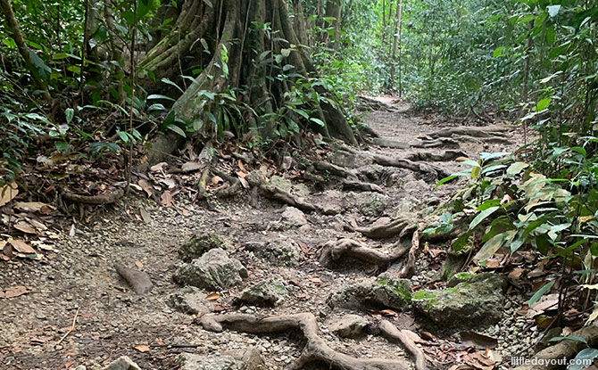
Known as the MacRitchie Nature Trail, this stretch of the trek was rather busy with plenty of walkers making their way up and down its dirt track. This is the stretch which leads from MacRitchie Reservoir Park up towards Windsor Nature Park and the TreeTop Walk.
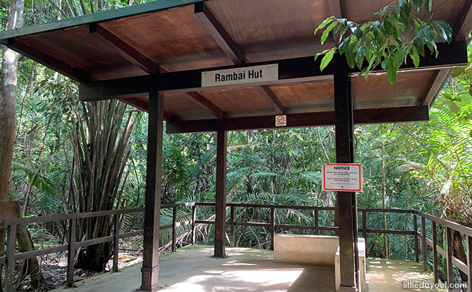
Along the way, there are rest huts for weary hikers.
Terentang Trail & Sime Track
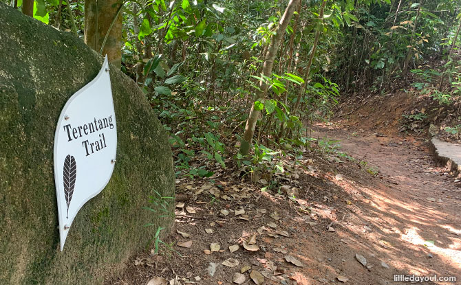
The MacRitchie Nature Trail ends at a junction with Venus Link to the right and the Terentang Trail to the left. Venus Link leads to Windsor Nature Park.
Since we were planning to complete the trek around MacRitchie Reservoir, we took the Terentang Trail and ventured deeper into the Central Catchment Nature Reserve.
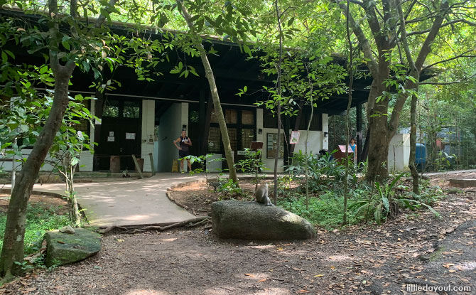
The Terentang Trail also leads to a ranger station with rest rooms. This is normally where you can head to the TreeTop Walk.
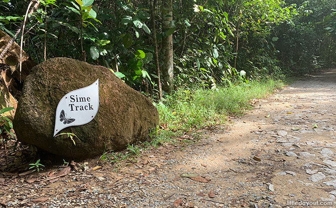
However, since the TreeTop Walk was closed, we continued along the Sime Track towards Jelutong Tower.
It is also along this stretch that you can head off on a separate track to Rifle Range Road.
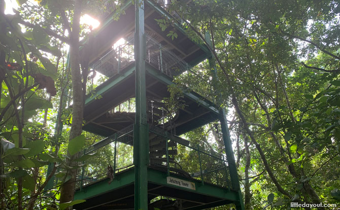
Jelutong Tower is a four-storey observation tower. After climbing up the spiral staircase, the reward is a sweeping view of the Central Catchment Nature Reserve and the waters of MacRitchie Reservoir. This is also roughly the half-way mark of the trail around the reservoir.
Golf Link
From the Jelutong Tower, the Golf Link pathway leads back towards the southern banks of MacRitchie Reservoir.
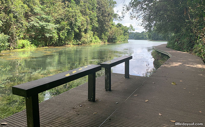
Golf Link has a section made up of boardwalks, followed by waterside paths.
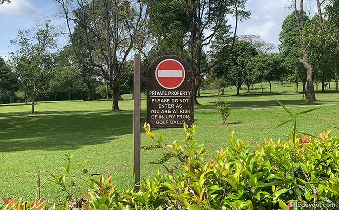
It runs alongside the edge of the Bukit Golf Course.
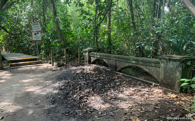
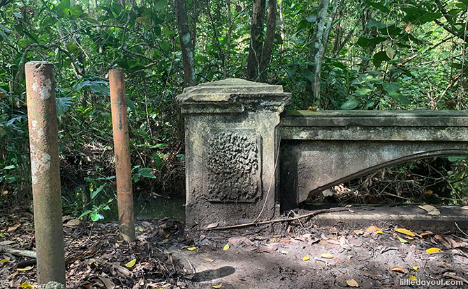
A landmark here is a relatively ornate stone bridge.
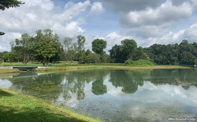
At this end of the MacRitchie Reservoir Trail, there are some pretty stunning views of the inlets of the reservoir.
Jering Boardwalk, Chemperai Boardwalk & Lornie Trail
Before long, you will find yourself heading back towards MacRitchie Reservoir Park.
You can choose to walk along the waterside Jering and Chemperai Boardwalks.
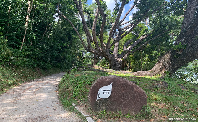
Alternatively, head through the forest along the undulating Lornie Trail before returning to MacRitchie Reservoir Park.
MacRitchie Reservoir Trek
The 11 km hike around MacRitchie Reservoir is not too demanding as trails are pretty well marked out and easy to navigate. The distance is the only challenge, but can be done if taken one section at a time.
It is a hike which every local should try at least once in a lifetime, and if you enjoy it, perhaps more than that.
Get a trail map here.


