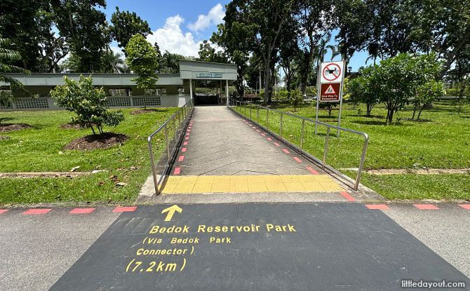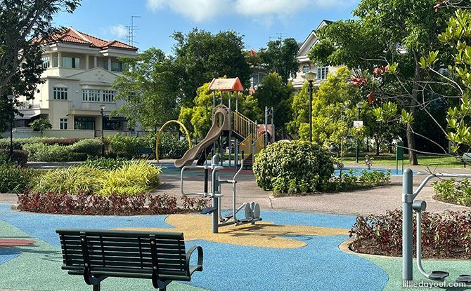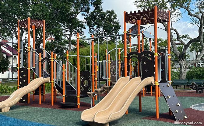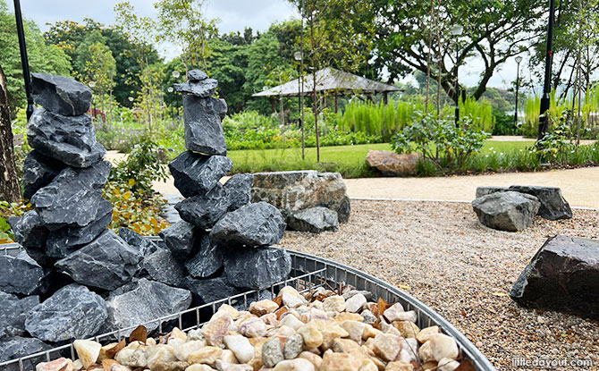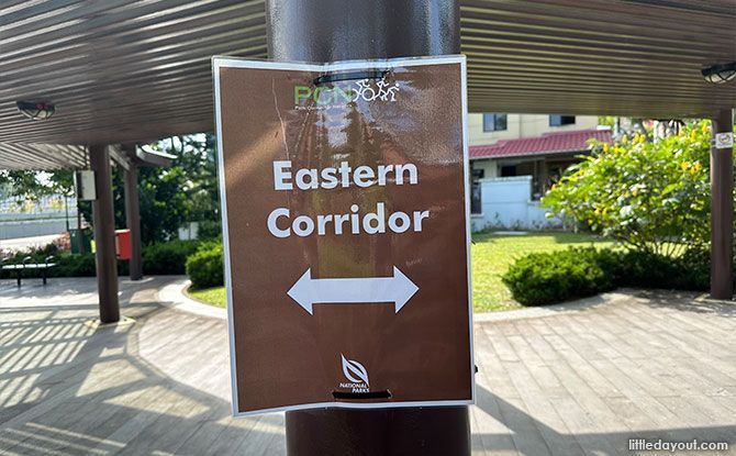
Cycle along the Eastern Corridor and explore various significant parks and gardens located in the east of Singapore with half of the route located along waterways. It is a great route to head out and explore the green space in the east of Singapore.
The Eastern Corridor is an 18 km route that is made up of a number of park connectors that provide access to multiple parks. It has been progressively completed since first being announced back in 2021.
The route stretches from East Coast Park Area G, one of the most “ulu” spots along East Coast Park, proceeding northwards along the Bedok Canal and leading to Bedok Reservoir Park.
From there, the Eastern Corridor then extends to Pasir Ris where it ends off.
FREE FOR LITTLE DAY OUT PARENTS: Sign Up for a Free Trial with ACT 3 Academy to Find Out If Drama Classes are Right for Your Child
3 Recycling Adventures: Fun Ideas For Kids & Families
1:1 & Small Group English Lessons: How to Get Personalised, English Help
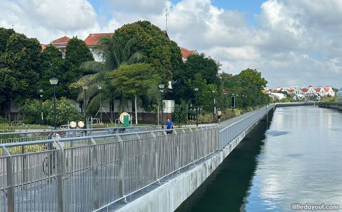
The series of park connectors will take users past waterways that have been enhanced under national water agency PUB’s Active, Beautiful, Clean Waters (ABC Waters) Programme.
This allows park users to enjoy a scenic cycling experience along waterscapes in the east.
Both ends of the Eastern Corridor – East Coast Park and Pasir Ris Park – both connect to the Round Island Route.
The Eastern Corridor also provides opportunities for the community to more easily explore the parks and nature areas of the East.
Eastern Corridor Park Connector Network Route Map
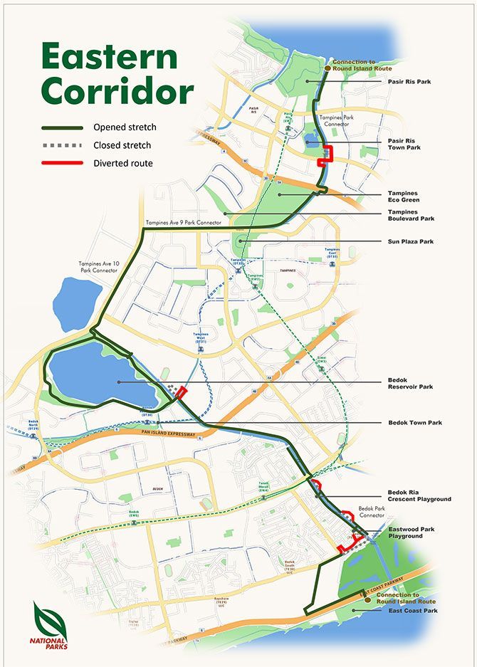
Here’s a more detailed look at the Eastern Corridor route, going from South to North.
East Coast Park: Underpass at East Coast Park Area G
The Eastern Corridor starts off at East Coast Park Area G. You can take the underpass to cross under the East Coast Parkway. Then proceed east along Upper East Coast Road towards the Bedok Road and Bedok Corner.
Eastwood Park Playground: Along Sungei Bedok (aka the Bedok Canal)
From Upper East Coast Road, join up with the park connector along Sungei Bedok. One of the landmarks here is the Eastwood Park Playground.
Read more about the Eastwood Park Playground.
Bedok Ria Crescent Playground: Along Sungei Bedok (aka the Bedok Canal)
Further along Sungei Bedok, you will go past the Bedok Ria Crescent Playground.
Read more about the Bedok Ria Crescent Playground.
Bedok Reservoir Park: Between Carpark A (Bedok Reservoir Road) and Carpark B (Tampines Ave 10)
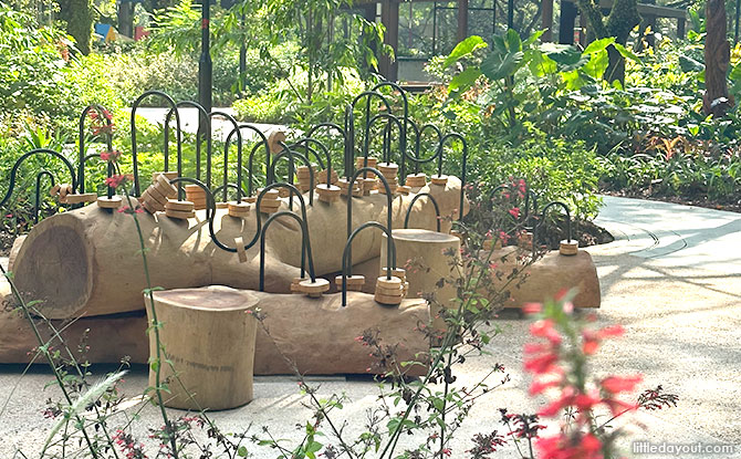
Continuing northwards along the park connect, you will go past Upper Changi Road East and eventually arrive at Bedok Reservoir Park where you can also explore its therapeutic garden.
A side trip that you can explore from Bedok Reservoir Park is Bedok Town Park.
Sun Plaza Park: Along Tampines Ave 9
From Bedok Reservoir Park, you can head northwards along Tampines Avenue 10 before turning to eastwards on to Tampines Avenue 9. This leads to Sun Plaza Park and its therapeutic garden.
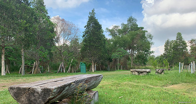
Tampines Eco Green: Between TPE and Tampines Ave 9, along Sungei Tampines
The Tampines Avenue 9 Park Connector then goes past Tampines Eco Green. It follows Sungei Tampines where it becomes the Tampines Park Connector before crossing the Tampines Expressway into Pasir Ris.
From the Tampines Park Connector, you can even do a detour to explore the Duck’s Nest Playground and Meteorite Playground at Tampines GreenEdge.
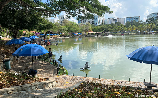
Pasir Ris Town Park: Pasir Ris Town Park Fishing Pond
The Tampines Park Connector goes past the eastern edge of Pasir Ris Town Park.
Pasir Ris Park: Kingfisher Bridge, along Sungei Tampines
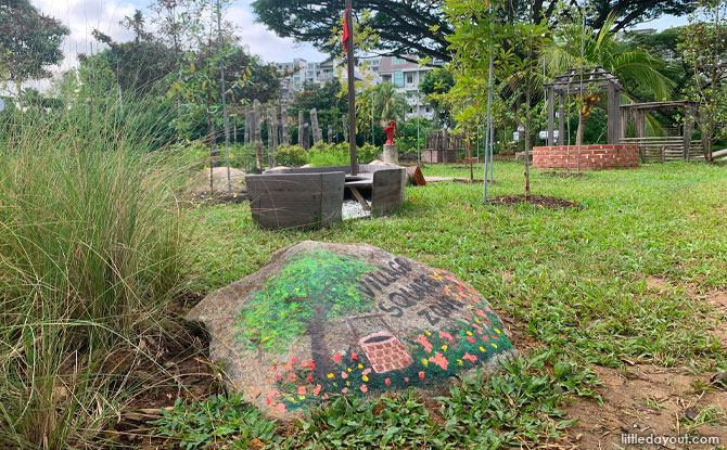
The northern end of the Eastern Corridor ends at Pasir Ris Park’s Kingfisher Bridge. Some of the spots to visit along Pasir Ris Park include the therapeutic garden and the nature playgarden, and of course the large Pasir Ris Park playground.
Exploring the East along the Eastern Corridor
The Eastern Corridor makes it easier to get from park to park in the east.
However, do take note that there are sections of the Eastern Corridor that are currently closed or diverted, so you may need to careful along those stretches.
For the latest information about the Eastern Corridor, you may wish to visit the NParks website here.


