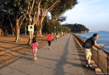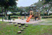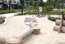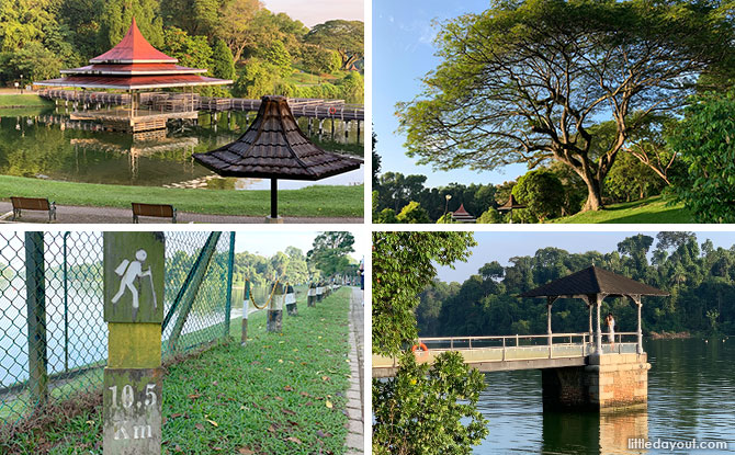
MacRitchie Reservoir Park and its surrounding trails are centred around Singapore’s oldest reservoir. The MacRitchie Reservoir and its 12 hectare park are a lush patch of greenery nature that provides a wonderful space in the middle of the island. MacRitchie Reservoir gives us a nostalgic feel and it is a wonderful place to commune with nature while being easily accessible.
Whether you are an avid fitness enthusiast who is looking a running path, a nature lover who wishes to get close to nature, or a family looking for somewhere that the kids can run about, MacRitchie Reservoir has something to offer.
MacRitchie Reservoir, the Park and the Central Catchment Area
Strictly speaking, there is a distinction between MacRitchie Reservoir, MacRitchie Reservoir Park and the Central Catchment Area, even though many use the terms interchangeably.
MacRitchie Reservoir refers to the water body, a key source of Singapore’s water supply.
FREE FOR LITTLE DAY OUT PARENTS: Sign Up for a Free Trial with ACT 3 Academy to Find Out If Drama Classes are Right for Your Child
3 Recycling Adventures: Fun Ideas For Kids & Families
1:1 & Small Group English Lessons: How to Get Personalised, English Help
MacRitchie Reservoir Park is the park at the southern edge of the reservoir, which has landscaped areas and amenities like fishing and kayaking areas.
The Central Catchment Area is the expense of greenery that many of the walking and running trails run through.
Okay. Enough with the pedantry.
History of MacRitchie Reservoir and the Park
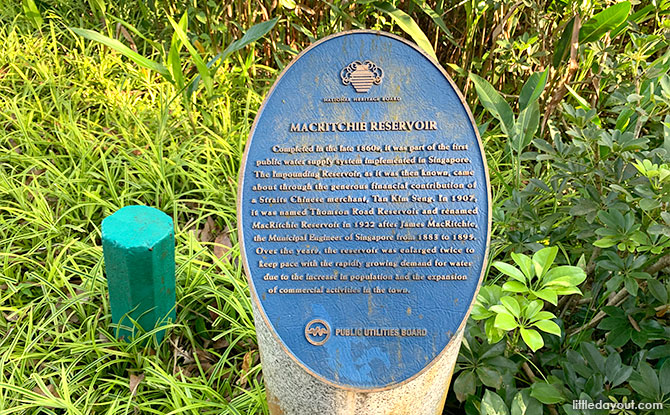
MacRitchie Reservoir is Singapore’s first reservoir. It was completed in 1867 but has its origins a decade before when businessman Tan Kim Seng (after whom Kim Seng Road is named) donated a sum of money to improve Singapore town’s water supply.
It was only after Singapore experienced a severe island-wide drought that the colonial government was compelled to approve the construction of the reservoir.
Originally known as the Impounding Reservoir, it was further enlarged under the supervision of James MacRitchie in 1891 and named in his honour in 1922.
MacRitchie Reservoir Park opened in 1967, 100 years after the reservoir was completed.
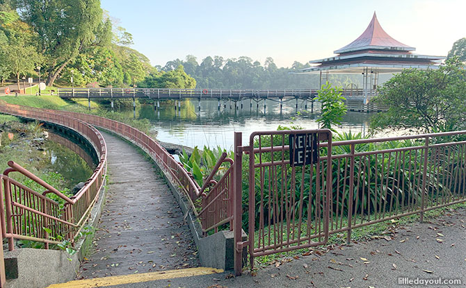
Today, visitors to MacRitchie Reservoir Park get to enjoy the view of beautiful waters, its hilly terrain and iconic landmarks such as the zig-zag bridge.
MacRitchie Reservoir Park is a gateway to the Central Catchment Area. Trails and boardwalks make their way into the forest that lies beyond the park. These provide a wonderful way for families to experience the outdoors together.
What to See and Do at MacRitchie Reservoir Park
Despite MacRitchie Reservoir Park being such a well-visited park, there are still little ‘discoveries’ that visitors may not know about.
MacRitchie Reservoir Park Amenities Centre
Most visitors to MacRitchie Reservoir Park will first arrive at the central area, beside the multi-storey car park.
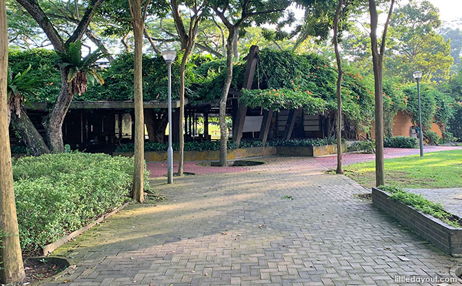
This is where the Amenities Centre is located, at the centre of the park.
While previously, there used to be a cafe at the Amenities Centre, this is now closed. The closest place to get something to drink would be at the vending machines close the kayak area.
There is also a deck with a small pond close to the Amenities Centre.
There was also used to be a small children’s playground at the Amenities Centre. However, this has been removed.
From the Amenities Centre, you can either head westwards or eastwards.
Singapore’s “Lombard” Path
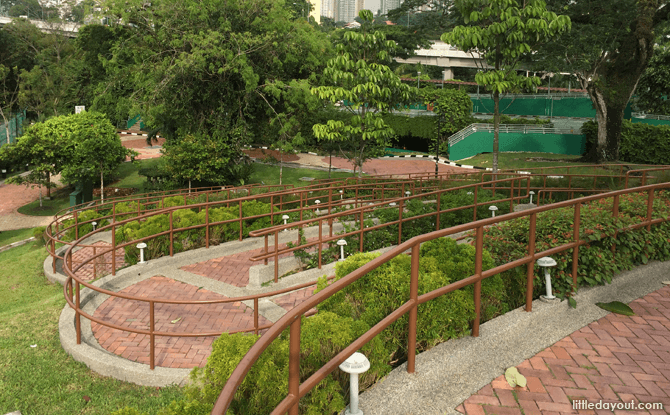
Going westwards from the Amenities Centre, you will come to Singapore’s very own “Lombard Street”.
Just like San Francisco’s famous Lombard Street, it is full of switchbacks on a hill – a total of seven. For those less inclined to follow the ziggy-zag path, there are a flight of stairs too.
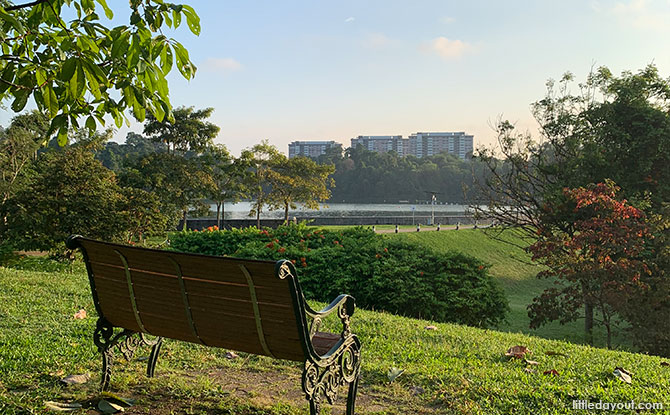
The windy ramp leads to the hilltop which offers beautiful, panoramic views of the reservoir’s calm waters.
There is space for a restaurant at the top of the hill but it is currently vacant.
MacRitchie Bandstand and the Zig-zag Bridge
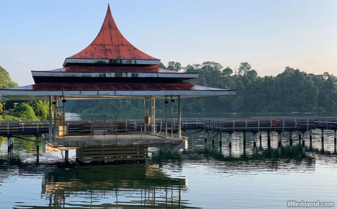
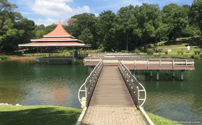
On the other side of the hill with the zig-zagging path is MacRitchie Reservoir Park’s iconic zig-zag bridge and bandstand.
These two structures were accorded conservation status by the Urban Redevelopment Authority in December 2009. They are being preserved because of the “social memories especially of many school children who attended various sporting events at the Reservoir Park.”
We are just happy future generations can have happy memories of them too.
Did you know that the zig-zag bridge and bandstand are not the only conserved landmarks at MacRitchie Reservoir Park.
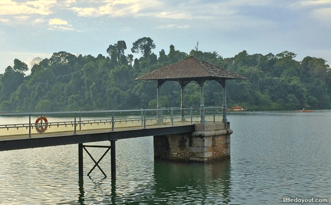
The water intake tower and its connecting bridge were also given conservation status in 2009 as they demonstrate the “technological process and construction methods of the late 19th century.”
Submerged Walkway
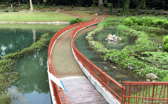
If walking along the water is not enough for you, beside the zig-zag bridge and grandstand is a submerged walkway. The 40-metre long boardwalk is made from a special material that resembles wood but able to resist being submerged underwater.
Lim Bo Seng’s Tomb
Lim Bo Seng arrived Singapore at age 16 and studied at Raffles Institution. When the war broke out, he became an activist, recruiting volunteers to put up resistance to the Japanese.
Four days before the fall of Singapore, he escaped to Indonesia, making his way to India where he recruited operatives against the Japanese.
In 1943, he arrived back in Malaya via submarine as part of the clandestine Force 136, a task force setup to gather intelligence and sabotage the Japanese. However, the spy network was compromised and Lim captured.
Even though tortured, he never divulged information about his fellow soldiers and died in June 1944 in Perak.
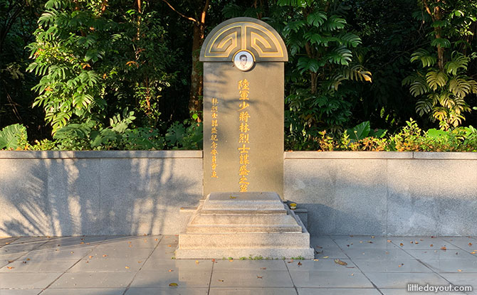
After the war, his wife brought his remains back to Singapore. He was given a funeral service at City Hall and buried at MacRitchie Reservoir Park with full military honours.
Originally his grave was marked by a simple wooden cross, but this was replaced with a concrete structure in 1952.
Visitors to the Park can visit his tomb at the hilltop beside the start of the Lornie Trail. Do remember to be respectful when visiting his tomb.
Floral Clock
This a spot that few may know about at MacRitchie Reservoir Park. Long before there was a floral clock at Gardens by the Bay, there was a floral clock at MacRitchie Reservoir Park. This can be found at the bottom section of the hill where Lim Bo Seng’s tomb is located.
The clock hands are long gone and no longer mark the passing of time. The clock’s numbers still remain as a memory to a time gone by but they are almost completely hidden by shrubbery.
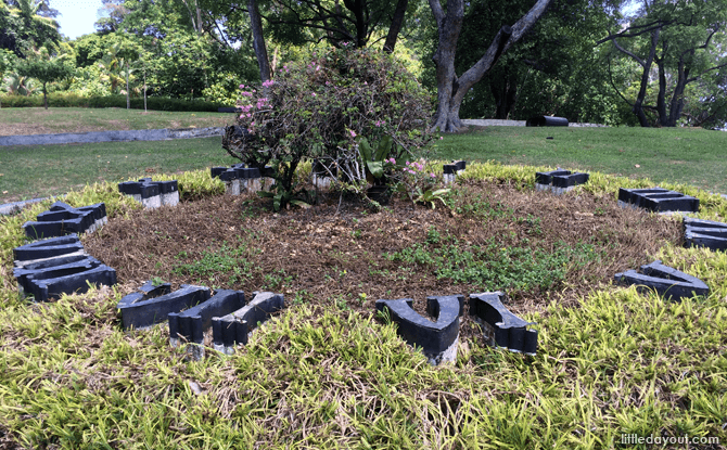
Above is a picture of what it used to look like in the past when the clock face was still visible.
Lornie Trail & Chemperai Boardwalk
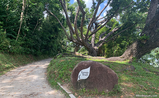
At the western end of MacRitchie Reservoir Park is the Lornie Trail and Chemparai Boardwalk.
The Lornie Trail cuts through the forest into the Central Catchment Area.
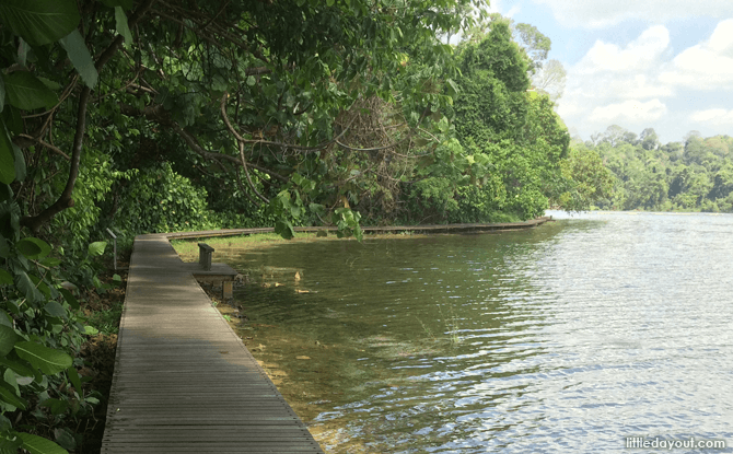
The Chemperai Boardwalk covers a distance of 1.5km and hugs the waters of the reservoir and will take you past the leaning tree of MacRitchie.
The Wooden Bridge
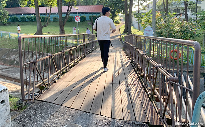
If you had chosen to head eastwards from the MacRitchie Reservoir Park Amenities Centre, you will arrive at a landmark of the park – the wooden bridge. This allows you to cross over a channel of water.
MacRitchie Reservoir Fishing Grounds
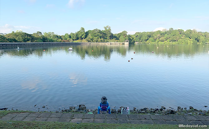
MacRitchie Reservoir has a designated fishing ground.
Found in the eastern part of the park, only artificial bait is permitted and anglers are encouraged to practise “catch-and-release” to maintain the reservoir’s fish stocks.
Kayak Kiosk
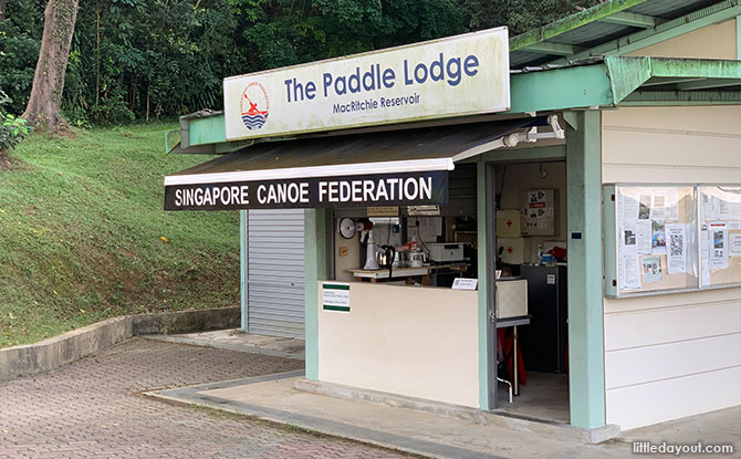
The Singapore Canoe Federation operates a kiosk at MacRitchie Reservoir Park that rents out kayaks by the hour. Children as young as four can go paddling on sit-on-top kayaks accompanied by adults.
You will also often see kayakers training in the waters of the reservoir.
MacRitchie Nature Trail & Prunus Boardwalk
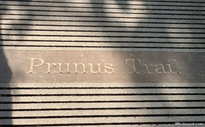
At the eastern end of MacRitchie Reservoir Park, closer toward Thomson Road is the another set of waterside boardwalks. This is the Prunus Trail which then connects to the adjoining Petai Trail.
If you wish to take a walk through the forest, the MacRitchie Nature Trail leads northwards towards Windsor Nature Park and the Treetop Walk.
Trails into the Central Catchment Area
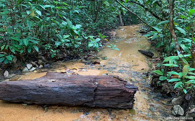
MacRitchie Reservoir Park is also a great starting point to embark on a walking trail through the Central Catchment Area.
You can view a map of MacRitchie and the Central Catchment Area here.
Round the Reservoir
One of our favourites is to take the trail around the entire water body. This is around 11 km and will take you through the Central Catchment Area.
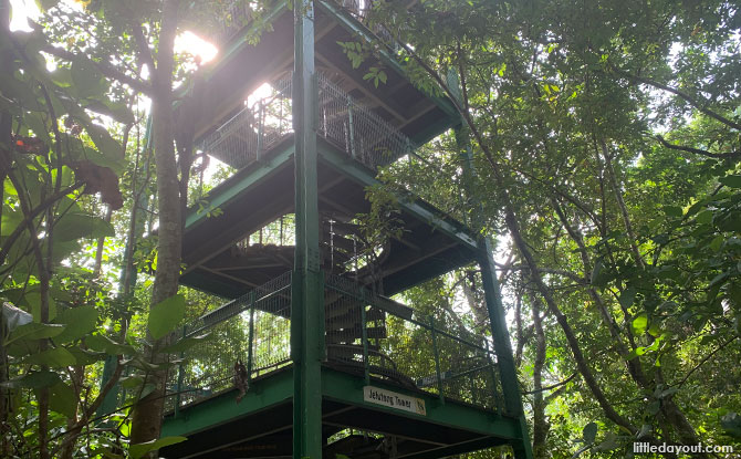
Along the way, you can also pay a visit to the Jelutong Tower to get an aerial view of MacRitchie Reservoir.
Treetop Walk
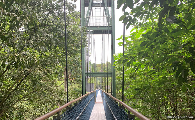
Another iconic spot to visit in the Central Catchment Area is the Treetop Walk. While you can reach it from MacRitchie Reservoir Park, the closest park to it is Windsor Nature Park. You can read more about the Treetop Walk.
Cross Central Catchment Area Hike
A fun and challenging hike is to trek across the Central Catchment Area. From MacRitchie Reservoir Park, you can head up north and join the trail that leads across to Bukit Timah Nature Reserve via Rifle Range Road.
Lornie Nature Corridor
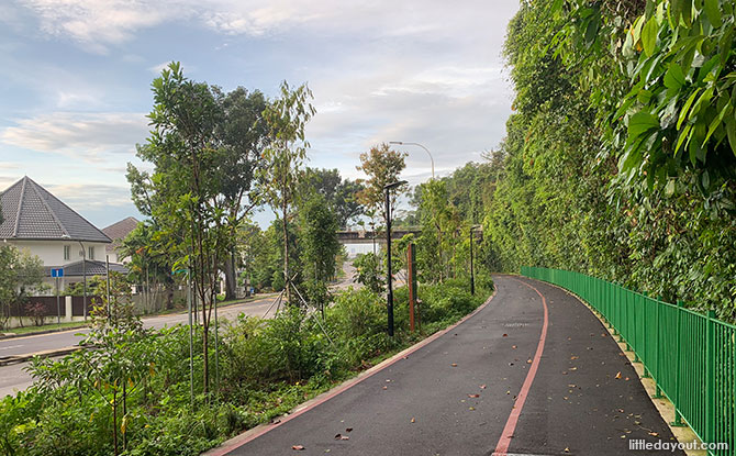
Lornie Nature Corridor is a 1.76 km long park connector which stretches along Lornie Road, along the fringe of the Central Catchment Area.
It is part of the Lornie Road park connector which links up MacRitchie Reservoir Park to Adam Road and forms part of the Coast-to-Coast trail.
It is the way to go if you’re planning to hike from MacRitchie to Adam Road Food Centre to get some nasi lemak for breakfast!
Read more about the Lornie Nature Corridor.
Wildlife at MacRitchie Reservoir: What to Do If You Encounter Macaques or Wild Boars
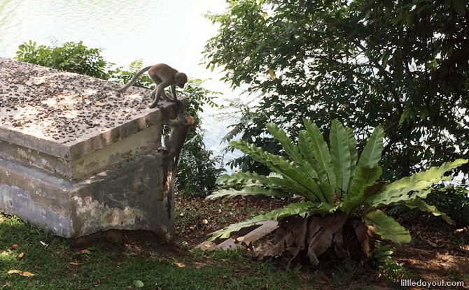
Living throughout MacRitchie Reservoir area and the Central Catchment Area, Long-tailed Macaques were given their scientific name, Macaca fascicularis, by Sir Stamford Raffles in 1821.
What should you do if you encounter them? It is best remain calm and quiet, do not make sudden movements or challenge them to a staring contest by making direct eye contact.
If you need to leave the area, look away and back off slowly; don’t turn around and run.
There have also been wild boar sighting around the MacRitchie area. If you encounter a wild boar, be calm and move away slowly. Do not try to approach them to photograph them or feed them. Be sure to steer clear of them especially if they have piglets with them.


